The Moroccan High Atlas
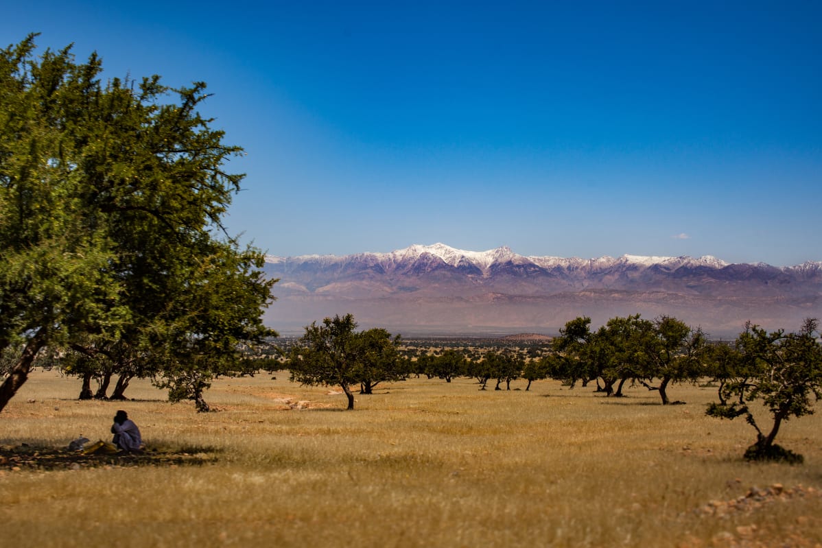
Here is a splendid view of the High Atlas mountain range, in Morocco, from the plain of Taroudant, near the town of Tioute, on the foothills of the Anti-Atlas.
The highest peak visible in the distance, 50 kilometers away, is the Jbel Tinergwet, which culminates according to the sources (very variable) between 3409 and 3551 meters of altitude: https://mapcarta.com/fr/17401510 http://peakbagger.com/peak.aspx?pid=46888
You can also find this photo on other platforms:
 Add it to your faves on Flickr, like 50+ others
 Like it on mastodon, like 20+ others
